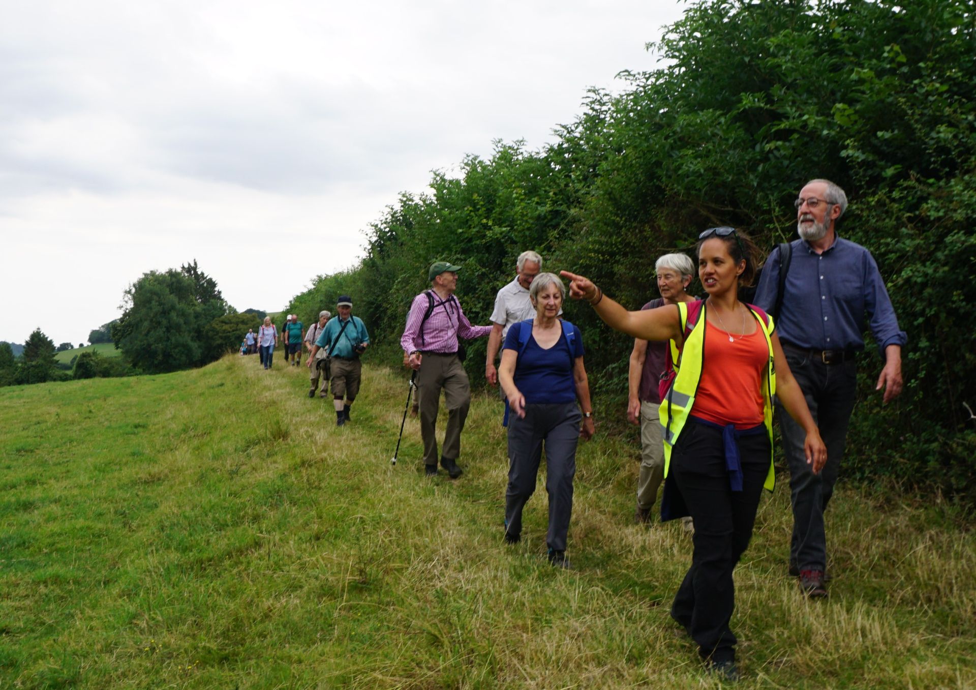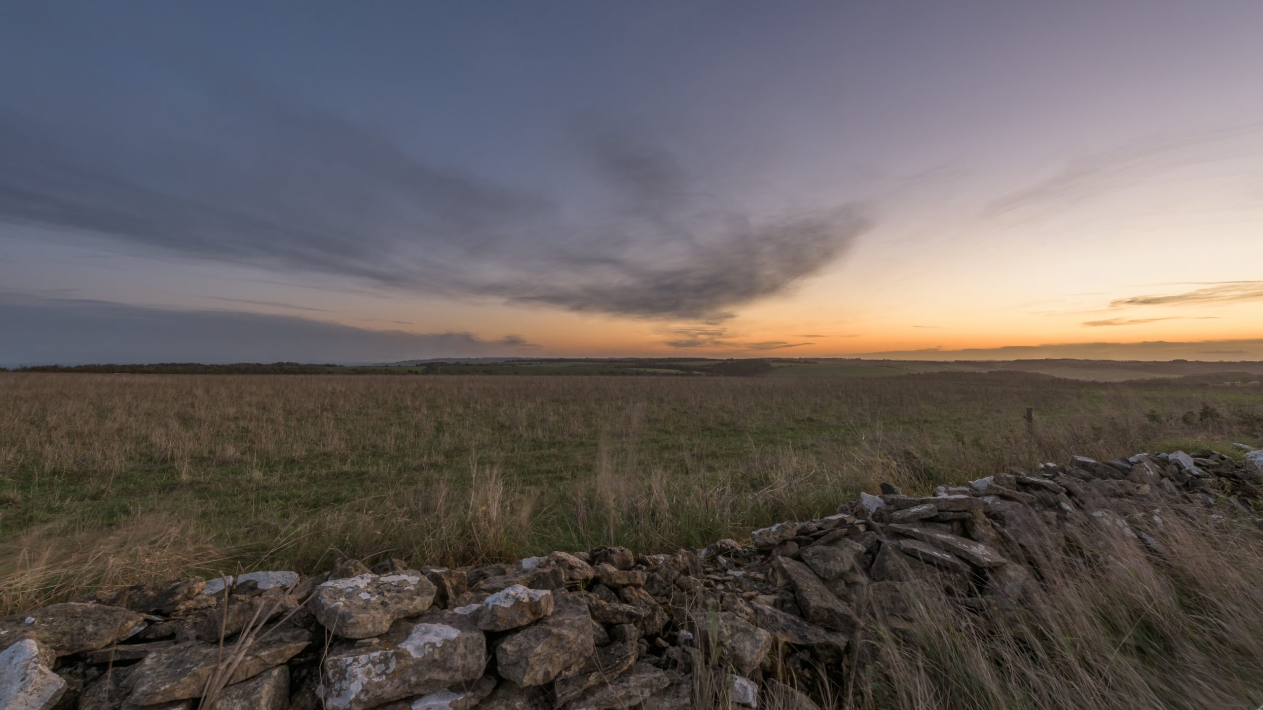
How Cleeve Common could look after pylon removal.
- Removal of up to 20 pylons and 7 kilometres of overhead electricity line could transform the skyline to the east of Cheltenham and onto the Cotswold Plateau
- Local people are welcome to attend any of a series of drop-in events to find out about the plans
- National Grid developing proposals with the Cotswolds National Landscape Board and local experts
Exciting plans to remove up to 20 pylons and around 7 kilometres of overhead electricity line in the Cotswolds National Landscape are about to be shared with local people in Winchcombe and the Charlton Kings area of Cheltenham.
The project will see the pylons replaced with cables buried underground to significantly enhance the landscape and views as part of National Grid’s Visual Impact Provision (VIP) project*, which is a national programme to reduce the visual impact of existing high voltage power lines in protected areas across England and Wales.
A series of public information drop-in events will be taking place during August where visitors can view the plans, speak to members of the team and share their views:
- Winchcombe Museum, High Street, Winchcombe, GL54 5LJ: Thursday 11 August, 10:00am–1:00pm
- Abbey Fields Community Centre, Back Lane, Winchcombe, GL54 5PR: Thursday 11 August, 3:00pm–8:00pm
- Stanton Hall (Stanton Suite), Church Street, Charlton Kings, GL53 8AR: Thursday 18 August, 3:00pm–8:00pm
- Winchcombe Country Show (hosted at Winchcombe School, Greet Road, Winchcombe, GL54 5LB): Monday 29 August (bank holiday), 1:00pm–5:00pm
Robbie Griggs, National Grid Lead Project Manager said: “By going underground in the Cotswolds, we’ll transform the skyline right across the stunning landscape of the Cotswold Plateau. The section that we’ve earmarked for removal runs from Postlip Mill in the north, right across the plateau avoiding the ancient woodland and steep slopes of West Down, and ending up near Dowdeswell Wood in the south.
“We’ve chosen this section following an extensive piece of independent landscape and visual impact research – which identified the plateau as one of the landscapes most affected by pylons anywhere in England and Wales. We’ve already started early investigations of the unique archaeology and ecology in the area with support from local experts, and we are talking to local groups such as parish and town councils, Cotswold voluntary wardens and the Cleeve Common Trust to share our emerging plans.”
National Grid will survey the area extensively and explore a range of potential routes for the new underground cables that would replace the pylons. Our plans will be developed and refined with the advice of local experts and community representatives including the Cotswolds National Landscape Board, Historic England, Natural England, Gloucestershire Wildlife Trust and the local authorities along the proposed route.
You can find out more via the project’s website (nationalgrid.com/cotswoldsvip) which includes information on the plans, next steps and will soon include a new virtual 360 tour where visitors can see what the landscape looks like now and how it could look once pylons are removed.
Andy Parsons, chief executive of Cotswolds National Landscape, said: “The Cotswolds National Landscape is the largest of all AONBs in England and Wales and spans 790 square miles.
“The last few years have been a reminder that our protected landscapes, our national parks and AONBs are really important for the health and wellbeing of our nation.
“The Cotswolds also has more pylons than any other protected landscape in England and Wales. That’s why we’re really pleased to be partnering with National Grid on this project which will reinvigorate the natural beauty of the area.”
Robbie Griggs concluded: “We really want the local community to get involved and have their say on our plans to enhance this special, protected landscape. If you’re a resident close to our intended route for pylon removal, you should be receiving a letter in the post. You’ll also be able to view our interactive 360 tour when it launches in the coming days, and you can contact us using any of the details below. We look forward to meeting you and hearing from you soon.”
To find out more about the Cotswolds VIP project, get in touch via:
- Website: com/cotswoldsvip
- Email: visualimpact@nationalgrid.com
- Phone: 0330 134 0051